Bow Fell
by Yann 05/08/2005 · Lake District
Walking the Wainwrights : Route 12
England – Lake District
Friday, our last full day in the Lakes. I (we) couldn’t leave without doing one last walk. Cendrine and Jack though, preferred to stay at the cottage, a bit frightened by the rain we got on our last expedition in the Langdale Pikes. For this last walk, Bow Fell was the summit we chose.
Going past the new hotel, we stop at bit farther down the lane at the old hotel. Having learnt the lessons of our previous walks I had carefully entered a good lot of waypoints in my GPS so off we go following the arrow on the screen.
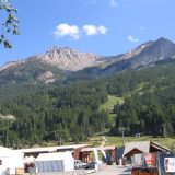
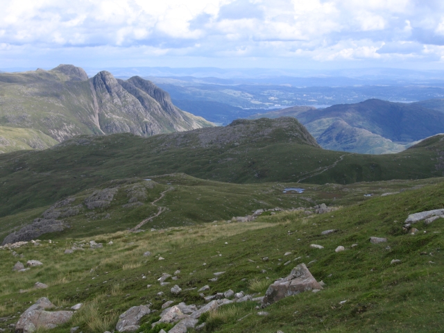
The first part of the walk going into the valley is flat, giving us time to admire the fells around and the Pike of Stickel on our right.
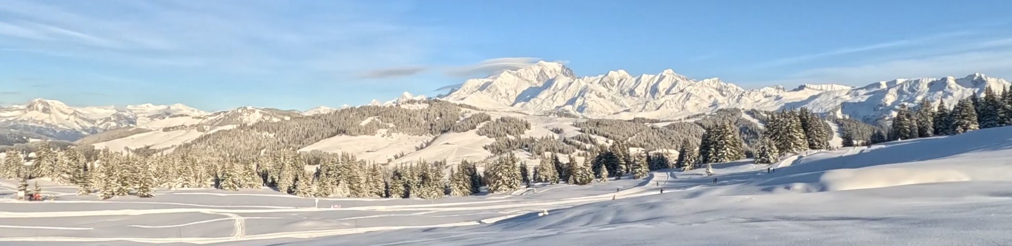
Leaving the Band path on our right we go on straight ahead keeping Hell Gill on our right. Things start to get a bit harder as the hill goes up and we are glad to rest a moment by the waterfall. We soon lose the track and I have to keep an eye on the GPS. Turning back to see if Mam is still following I just can’t get over the view on the Pike of Blisco. Next to it, is Cold Pike and between the two Red Tarn and beyond Wetherlam.
It’s so steep that my GPS is having difficulties acquiring the signal but we finally reach the Three Tarns.
I’m starting to be really hungry but we all want to go to the summit before stopping so off we go again.
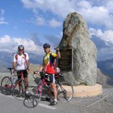
We soon get to the top a bit discouraged by meeting a guy up there with his dog jogging! A quick video from the view all around and we sit down a few meters below to enjoy our sandwiches.
Going past Esk Pike, on our way back down, we admire Scafell Pike. It seems so near that we think of going up it but when get to the crossing with the wind cross shelter we turn right as marked in our book.
Going down to Angle Tarn is very nice. It’s a great day and we say good bye to Bow Fell before turning left towards Rossett Pike.
Once again, I’m very pleased to have the GPS with me. Mam has a try with it.
A couple following us seems a bit lost and they go straight ahead when we turn right, following the GPS along Stake Gill even if there’s no sign of water !
The path goes down quickly to join the Cumbria Way. Mam remembering her school lessons asks Papa to take a photo: “What a nice example of a U shaped valley”, she says delighted!
The last part of our wonderful walk, going down the valley, is like magic. I realize what a privilege I have just to be there. The atmosphere of the valley is so peaceful in this early evening. Mam explains how the area is protected and we all say how grateful we are for that.
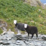
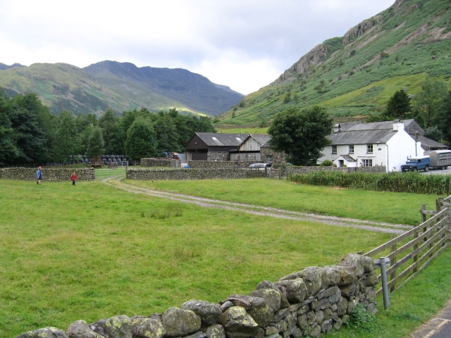
Going down the valley among the sheep, admiring the few farms on my right I wish this moment could last for ever.