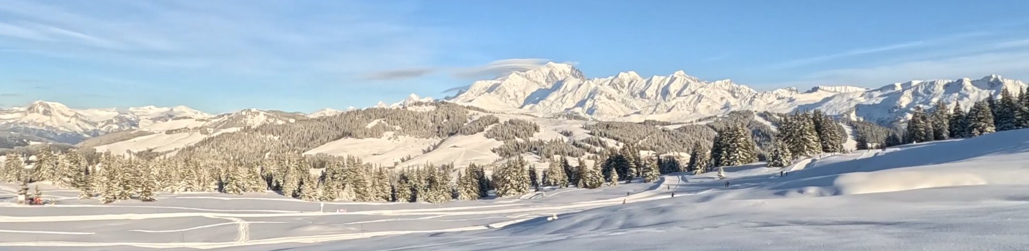
The Coniston Fells
by Yann 01/08/2005 · Featured / Lake District
Walking the Wainwrights : Route 19
England – Lake District
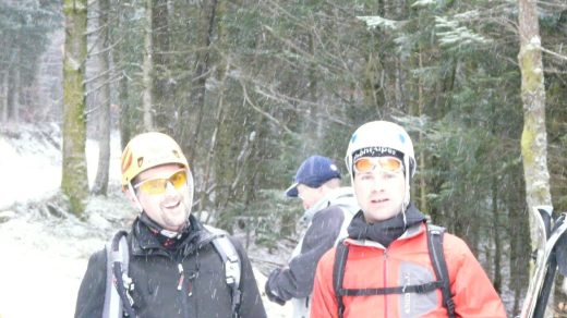
After leaving the car in Coniston, off we go in the direction of the old miners’ bridge. Just before getting to it, we stop to look at a nice waterfall which comes flowing out from under the bridge. After crossing the beck, the difficult part starts. We follow a path on the right from where we can see a few old miners’ houses. Soon, the path becomes awkward and after a nice climb my GPS indicates that we are going wrong. I check the map and realize that we aren’t on the track we want. Never mind, the Ordnance Survey map in one hand and my compass in the other, we simply follow a bearing that will lead us back to the track going along the ridge to Wetherlam. A really nice view is waiting for us. We can see our entire route around the tarn Levers Water, what we have done and have got left to do. Starting to feel hungry, we start thinking of the pork pies we’re carrying in our rucksacks. Anyway, another half an hour and we’ll stop. That way, we can start going up Swirl Howe. In fact, the path becomes quite steep and we decide to go up to the top to eat. On our right, the view on the Pike of Blisco, the Langdale pikes with their very noticeable Pike of Stickle and the Scafell group in the distance helps us to scramble up. Enjoying our sandwiches, we can admire the view of our final summit: the Old Man.

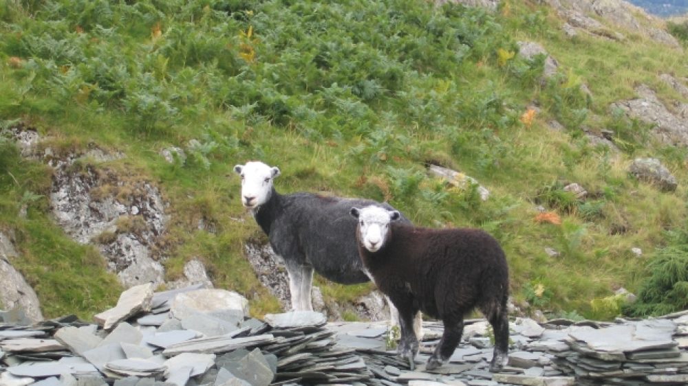
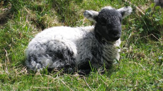
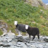
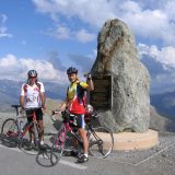
But, it’s soon time for us to be on our way. Another digestive biscuit and off we go. We stop for a few minutes to have a look at part of the wreckage of a Halifax bomber before continuing on the escarpment edge to Great Carns. At that point, a discussion starts: “Yann, why are we going down and heading in the opposite direction to the Old Man ?” A quick look at the map to reassure them. We are only heading for Grey Friar before taking a track that will lead us back on the “classic” track going to Brim Fell and the Old Man. Leaving the nice view of Seathwaite on our right, we soon get round the summit of Brim Fell. Continuing on the more or less flat track, we start seeing a lot more people. A few more steps and we arrive at the summit of the Old Man. We take quite a few photos, taking our time to appreciate the landscape. Sorry to leave such scenery, we head for a track on the left that brings us along Low Water and down back to the miners’ bridge. The long way down is tiring because of all the stones but approaching our goal a surprise is waiting for us. All the sheep in the valley are bleating. That is so nice to hear after a good day on the mountain tops. After the bridge, we follow the nice lane leading to the village. We stop to have a well deserved beer, satisfied with our great day out walking.


Frank’s comment !
Thanks for your description of your walk. As you say, we talked about it on our visit. The steep bit up to Swirl Howe is called Prison Band – it looks a lot steeper from a side view than it actually is ! I can’t work out exactly how you got to the top of Wetherlam, I like to go up to Levers water, then to the right, up a ridge called High Fell to a nice top called Black Sails, then right to Wetherlam. There are no paths marked on the maps on the ridge, but there IS a lovely little winding path a few minutes after turning right at the outfall of Levers Water.
I can understand the others grumbling as you headed in the opposite direction from the Old Man, towards Great Carrs and Grey Friar ! The views are great though, all along the route you took. There has been a lot of mining in days gone by under the Old Man and I am not keen on the usual steep path down – it looks a bit ugly in places and “ugly” is not a word I think of in the Lake District ! I usually turn right just below the summit, down a path that reaches the Walna Scar road at a place called Boo Tarn. (I love the names in the Lake District !)